Mississippi
Woodall Mountain
Elevation: 806 feet
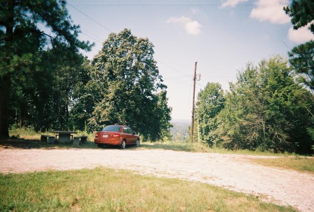
I drove to Woodall Mountain the day after Hurricane Katrina passed through as a tropical storm. The sky was almost completely clear and the sun was hot. The highpoint is easy to find from MS25 south of the exit off of US72. Signs lead back through the neighborhood to the gravel road to the summit. The road was surprisingly bumpy, at least in the rental car. Though much shorter than the road to Spruce Knob in WV, I would say this is the roughest road to a drive-up I've been on so far.
The highpoint itself offers a limited view (at least during the summer) down power line trails. Take a look at the solidly placed USGS marker, the picnic table, and the radio towers; there's another peak in the books.
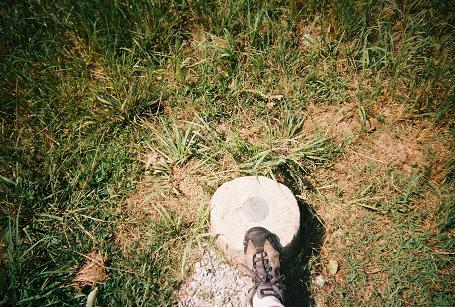

The sturdy USGS marker easily weathered Tropical Storm Katrina. The self portraits were much better in '05 than '04.

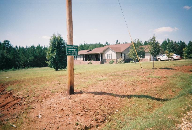
Katrina damage on the gravel road(one downed tree) and one of the several signs that make Woodall an easy high point to find.
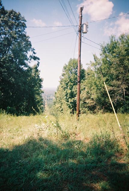
The view in late summer, such as it is.